Medium
Poor
Network
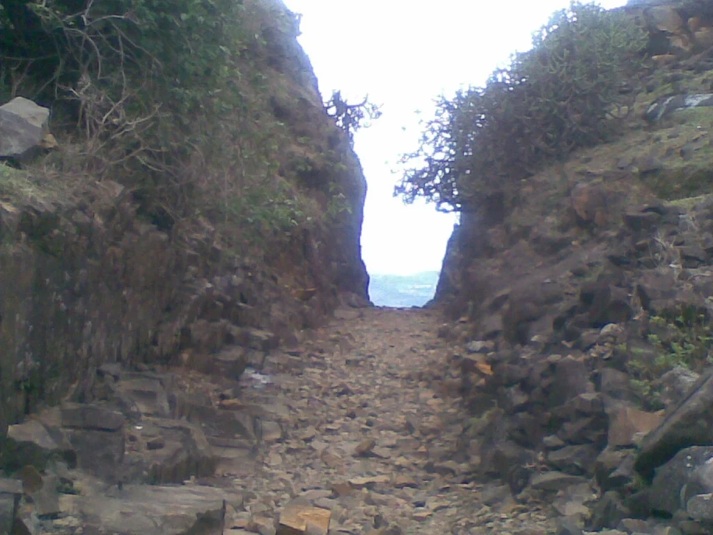
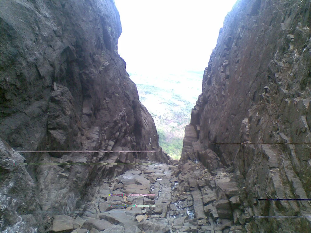
Road till the top of the pass. One has to walk around 300meters to reach the caves. Second trekking route comes from Murbad-Malshej Road. A well laid stone path from the base to top. Its a hike of around 2 hours.
About the place ...
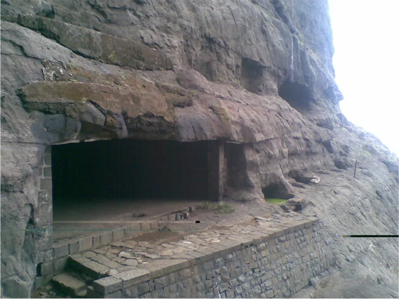
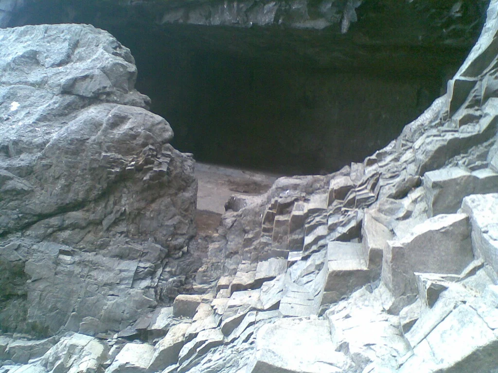
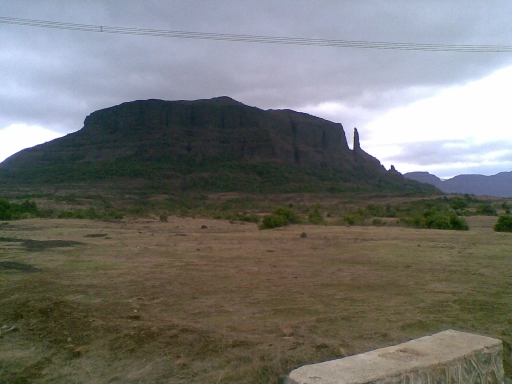
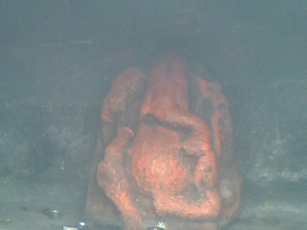
Nanaghat pass stretches over the Western Ghats, through an ancient stone laid hiking trail to the Nanaghat plateau. The pass was the fastest key passage that linked the Indian west coast seaports of Sopara, Kalyan and Thana with economic centers and human settlements in Nasik, Paithan, Ter and others, according to Archaeological Survey of India. Near the top is large, ancient manmade cave. On the cave’s back wall are a series of inscriptions, some long and others short. The high point and cave are reachable by road via Highways 60 or 61. The cave archaeological site is about 120 kilometres (75 mi) north of Pune and about 165 kilometres (103 mi) east from Mumbai
This Website is developed by
Aseemit Services & Solutions
Contact : +91 7219259149
Nearby facilities ...
-
Bus Stop :
Ghatghar -
Railway Station :
Nashik -
Airport :
Nashik
-
Mechanic :
Junnar -
Petrol Pump :
Junnar -
Medical Help :
Junnar